Projects
Explore a selection of our current and past research projects.
.jpg)
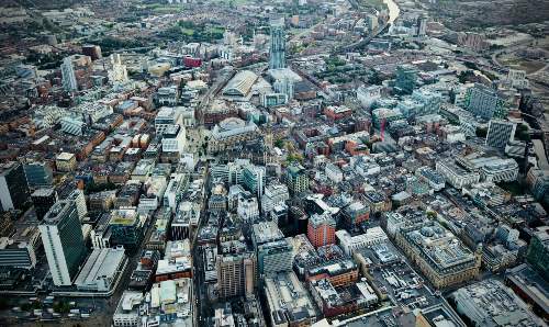
Transport and Social Exclusion
Create a blueprint for community participation in the transport planning of the bee network in Greater Manchester.
-(1).jpg)
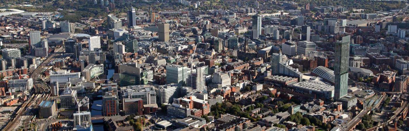
Co-producing an Index of Flourishing for North Manchester
Co-producing an Index of Flourishing for North Manchester.
-(1).jpg)
The Engine Room
The Engine Room provides a pilot for the idea that we can use empty spaces to spark change and innovation.
.jpg)
Understanding Encounters, Practices, Values and Imaginaries of Hollywood Park, Edgeley
Researching the encounters, cultural practices, and perceptions associated with Hollywood Park, Edgeley.
.jpg)
Salient Hub
Research and innovation in support of the UK’s national security and resilience.
.jpg)
JUST Research Centre
A new research Centre focused on the pursuit of sustainability transformations that are people-centred.
.jpg)
RBOC N+ Resilience Beyond Observed Capabilities Network+
Creating new knowledge, new capabilities and new opportunities for collaboration to help the UK prepare for security threats in the coming decades.
.jpg)
Synergistic City-Region Programme
Welcome to the Collaboratorium side of the Future-wise Cities theme at the Manchester Urban Institute.
.jpg)
POWER UP
Exploring business opportunities for energy efficiency services and renewables that benefit people in energy poverty.
.jpg)
GENERATE: Gender and Precarity at the Energy Frontier
Generating novel insights into the social, spatial and political inequalities that underpin energy-related injustices.
.jpg)
Energy Demand Research Centre
The Energy Demand Research Centre (EDRC) undertakes research for an affordable and secure low-energy future.
-(1).jpg)
CO2RE
CO2RE is the UK’s national research hub on Greenhouse Gas Removal (GGR).
-(1).jpg)